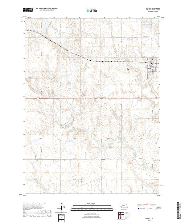
2021 Map of Juniata
USGS Topo · Published 2021About this map
Juniata serves as the primary hub of this landscape, established on a grid in the northeastern corner where Cemetery Rd meets Republican Ave. Just west of the town center lies the Juniata Cem, a vital point of interest for genealogists tracking early families of the region. The surrounding terrain is defined by the headwaters of the Thirtytwo Mile Cr and its tributaries, which feed into significant local water features including the Thirty-Two Mile Cr Reservoir and the Vieselmeyer Reservoir. Further south, the settlement of Assumption anchors the township line near the Scott Cr drainage. The map preserves the names of historic transport corridors such as W Dld Rd and Kenesaw Blvd, which reflect the transition from early migration trails to a formal county road system servicing the agricultural heartland.
Find a feature on this map
42 named features on this map. Tap any name to fly to it.
Don’t see what you’re looking for? This feature index may not catch every label — zoom into the map to look around manually.
Map Details
Editions of this 2021 Juniata Map
This is the sole edition of this map. No revisions or reprints were ever made.
Other maps of this area

1894 · Kenesaw
USGS Topo · 1:62,500

1896 · Wood River
USGS Topo · 1:125,000

1897 · Red Cloud
USGS Topo · 1:125,000

1898 · Superior
USGS Topo · 1:125,000

1898 · Grand Island
USGS Topo · 1:125,000

1955 · Grand Island
USGS Topo · 1:250,000

1957 · Grand Island
USGS Topo · 1:250,000

1958 · Grand Island
USGS Topo · 1:250,000

1962 · Denman
USGS Topo · 1:24,000

1962 · Prosser
USGS Topo · 1:24,000