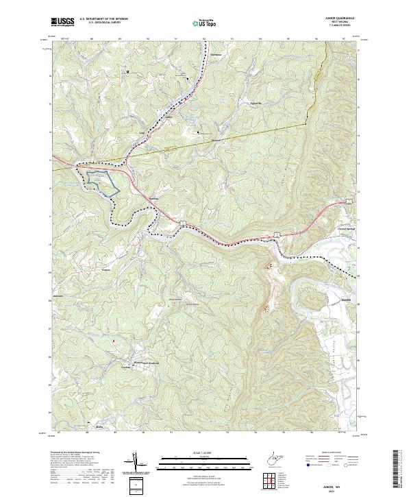
2023 Map of Junior
USGS Topo · Published 2023About this map
Tygart Valley River carves a deep path through the heart of this West Virginia landscape, anchoring a string of small communities along its banks and adjacent hillsides. The map documents a cluster of settlements including Junior, Dartmoor, and Harding, showing the dense concentration of cemeteries and local landmarks that define the area's genealogical character. Notable sites for local history researchers include Valley River Brethren Cem and Mountain View Cem, alongside the dual-named community of Womelsdorf (Coalton).
Find a feature on this map
85 named features on this map. Tap any name to fly to it.
Don’t see what you’re looking for? This feature index may not catch every label — zoom into the map to look around manually.
Map Details
Editions of this 2023 Junior Map
This is the sole edition of this map. No revisions or reprints were ever made.
Other maps of this area

1886 · St. George
USGS Topo · 1:125,000

1889 · Beverly
USGS Topo · 1:125,000

1891 · St. George
USGS Topo · 1:125,000

1892 · Beverly
USGS Topo · 1:125,000

1893 · Buckhannon
USGS Topo · 1:125,000

1896 · Buckhannon
USGS Topo · 1:125,000

1897 · Buckhannon
USGS Topo · 1:125,000

1904 · Philippi
USGS Topo · 1:62,500

1907 · Belington
USGS Topo · 1:62,500

1909 · Elkins
USGS Topo · 1:62,500