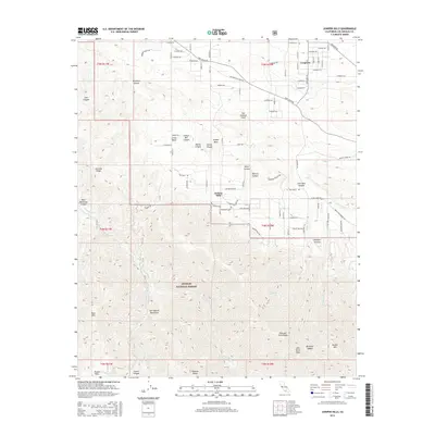
2015 Map of Juniper Hills
USGS Topo · Published 2015About this map
Juniper Hills and Longview occupy the high desert transition where the Antelope Valley meets the northern slopes of the San Gabriel Mountains. This 2015 survey illustrates a landscape deeply influenced by its geology, with the San Andreas Fault bisecting the terrain between the residential areas and the rising peaks of the Angeles National Forest. The road network reflects both modern development and deeper historical routes, such as Butterfield Stage Rd and Fort Tejon Rd.
Find a feature on this map
69 named features on this map. Tap any name to fly to it.
Don’t see what you’re looking for? This feature index may not catch every label — zoom into the map to look around manually.
Map Details
Editions of this 2015 Juniper Hills Map
This is the sole edition of this map. No revisions or reprints were ever made.
Other maps of this area

1900 · Tujunga
USGS Topo · 1:62,500

1901 · Southern California Sheet No. 1
USGS Topo · 1:250,000

1903 · Rock Creek
USGS Topo · 1:62,500

1904 · Southern California Sheet No. 1
USGS Topo · 1:250,000

1915 · Elizabeth Lake
USGS Topo · 1:125,000

1917 · Elizabeth Lake
USGS Topo · 1:125,000

1930 · Little Rock
USGS Topo · 1:24,000

1930 · Llano
USGS Topo · 1:24,000

1930 · Pearland
USGS Topo · 1:24,000

1934 · Pearland
USGS Topo · 1:24,000