
1934 Map of Pearland
USGS Topo · Published 1934About this map
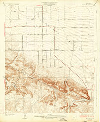
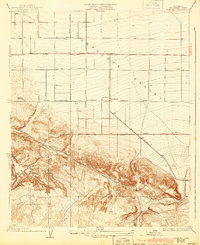
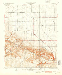
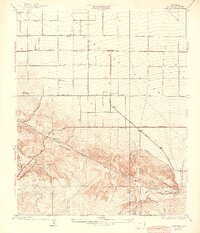
Antelope Valley transitions from flat desert floor to the northern foothills of the San Gabriel Mountains in this 1934 study. The small settlement of Pearland is the focal point, situated at the junction of organized grid roads and the diagonal sweep of the Pear Blossom Highway. This era shows a landscape primarily defined by infrastructure and early desert agriculture, with several irrigation or drinking water points labeled simply as Well.
Find a feature on this map
13 named features on this map. Tap any name to fly to it.
Don’t see what you’re looking for? This feature index may not catch every label — zoom into the map to look around manually.
Map Details
Editions of this 1934 Pearland Map
5 editions found
Other maps of this area

1900 · Tujunga
USGS Topo · 1:62,500

1901 · Southern California Sheet No. 1
USGS Topo · 1:250,000

1903 · Rock Creek
USGS Topo · 1:62,500

1904 · Southern California Sheet No. 1
USGS Topo · 1:250,000

1915 · Elizabeth Lake
USGS Topo · 1:125,000

1917 · Elizabeth Lake
USGS Topo · 1:125,000

1930 · Little Rock
USGS Topo · 1:24,000

1930 · Lancaster
USGS Topo · 1:24,000

1930 · Pearland
USGS Topo · 1:24,000

1930 · West Alpine Butte
USGS Topo · 1:24,000