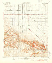
1934 Map of Pearland
USGS Topo · Published 1943About this map
Antelope Valley transitions from flat agricultural grids to dramatic geological formations in this Los Angeles County survey. The settlement of Pearland sits at a crossroads of early twentieth-century infrastructure, where the Pear Blossom Highway and Standard Parallel North meet. The southern portion of the map is dominated by the San Andreas Rift Zone, a complex terrain of ridges and canyons that dictated the placement of early transportation routes like Nadeau Road and Fort Tejon Road.
Find a feature on this map
21 named features on this map. Tap any name to fly to it.
Don’t see what you’re looking for? This feature index may not catch every label — zoom into the map to look around manually.
Map Details
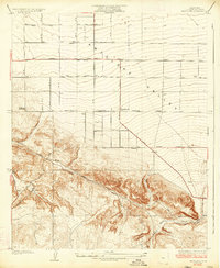
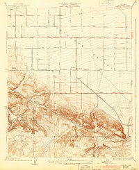
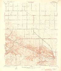
Editions of this 1934 Pearland Map
5 editions found

Other maps of this area

1900 · Tujunga
USGS Topo · 1:62,500

1901 · Southern California Sheet No. 1
USGS Topo · 1:250,000

1903 · Rock Creek
USGS Topo · 1:62,500

1904 · Southern California Sheet No. 1
USGS Topo · 1:250,000

1915 · Elizabeth Lake
USGS Topo · 1:125,000

1917 · Elizabeth Lake
USGS Topo · 1:125,000

1930 · Little Rock
USGS Topo · 1:24,000

1930 · Lancaster
USGS Topo · 1:24,000

1930 · Pearland
USGS Topo · 1:24,000

1930 · West Alpine Butte
USGS Topo · 1:24,000