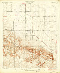
1934 Map of Pearland
USGS Topo · Published 1934About this map
Antelope Valley transitions from the structured grid of the high desert plateau into the complex foothills of Los Angeles County in this early 1930s survey. The small settlement of Pearland sits at a strategic junction where the gridded agricultural planning of the valley floor meets the older, winding transportation corridors of the mountains. A significant historical thoroughfare, the Old Fort Tejon Road, cuts diagonally across the southern terrain, tracing a path dictated by the local topography rather than the rigid section lines of the north. This road, along with Nadeau Road and the Sierra Pacific Road, reflects the established travel patterns through the dry canyons and ridges before modern highway development fully bypassed these bypasses. To the west, the Palmdale Cemetery remains a fixed point of genealogical interest, while the seasonal drainage of Little Rock Wash defines the eastern landscape. The presence of Pear Blossom Highway indicates the region's evolving role as a connector between the valley and distant Victorville.
Find a feature on this map
16 named features on this map. Tap any name to fly to it.
Don’t see what you’re looking for? This feature index may not catch every label — zoom into the map to look around manually.
Map Details
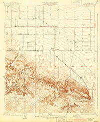
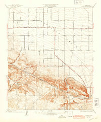
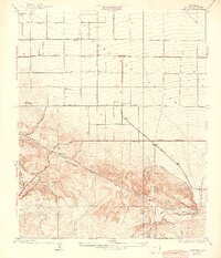
Editions of this 1934 Pearland Map
5 editions found

Other maps of this area

1900 · Tujunga
USGS Topo · 1:62,500

1901 · Southern California Sheet No. 1
USGS Topo · 1:250,000

1903 · Rock Creek
USGS Topo · 1:62,500

1904 · Southern California Sheet No. 1
USGS Topo · 1:250,000

1915 · Elizabeth Lake
USGS Topo · 1:125,000

1917 · Elizabeth Lake
USGS Topo · 1:125,000

1930 · Little Rock
USGS Topo · 1:24,000

1930 · Lancaster
USGS Topo · 1:24,000

1930 · Pearland
USGS Topo · 1:24,000

1930 · West Alpine Butte
USGS Topo · 1:24,000