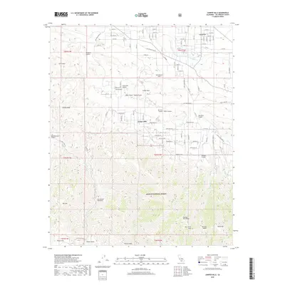
2018 Map of Juniper Hills
USGS Topo · Published 2018About this map
The San Andreas Fault cuts directly through this landscape, creating a distinct geological boundary between the desert-edge developments and the steep northern slopes of the San Gabriel Mountains. In the northern half, the residential community of Juniper Hills and the settlement of Longview occupy a transition zone of alluvial fans and mesas, where local infrastructure is defined by a grid of numbered roads like E Ave W4 and names recalling early travel such as Butterfield Stage Rd.
Find a feature on this map
76 named features on this map. Tap any name to fly to it.
Don’t see what you’re looking for? This feature index may not catch every label — zoom into the map to look around manually.
Map Details
Editions of this 2018 Juniper Hills Map
This is the sole edition of this map. No revisions or reprints were ever made.
Other maps of this area

1900 · Tujunga
USGS Topo · 1:62,500

1901 · Southern California Sheet No. 1
USGS Topo · 1:250,000

1903 · Rock Creek
USGS Topo · 1:62,500

1904 · Southern California Sheet No. 1
USGS Topo · 1:250,000

1915 · Elizabeth Lake
USGS Topo · 1:125,000

1917 · Elizabeth Lake
USGS Topo · 1:125,000

1930 · Little Rock
USGS Topo · 1:24,000

1930 · Llano
USGS Topo · 1:24,000

1930 · Pearland
USGS Topo · 1:24,000

1934 · Pearland
USGS Topo · 1:24,000