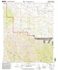
1995 Map of Juniper Hills
USGS Topo · Published 1999About this map
The San Andreas Rift Zone bisects this landscape, creating a distinct geological break between the high desert and the steep terrain of the Angeles National Forest. In the late 1990s, the community of Juniper Hills serves as the primary residential anchor, situated at the base of the mountains where the alluvial fans of Cima Mesa meet the valley floor. The map highlights the complex water management systems of the region, featuring the California Aqueduquct as it carries water across the arid landscape north of the rift.
Find a feature on this map
41 named features on this map. Tap any name to fly to it.
Don’t see what you’re looking for? This feature index may not catch every label — zoom into the map to look around manually.
Map Details
Editions of this 1995 Juniper Hills Map
This is the sole edition of this map. No revisions or reprints were ever made.
Other maps of this area

1900 · Tujunga
USGS Topo · 1:62,500

1901 · Southern California Sheet No. 1
USGS Topo · 1:250,000

1903 · Rock Creek
USGS Topo · 1:62,500

1904 · Southern California Sheet No. 1
USGS Topo · 1:250,000

1915 · Elizabeth Lake
USGS Topo · 1:125,000

1917 · Elizabeth Lake
USGS Topo · 1:125,000

1930 · Little Rock
USGS Topo · 1:24,000

1930 · Llano
USGS Topo · 1:24,000

1930 · Pearland
USGS Topo · 1:24,000

1934 · Pearland
USGS Topo · 1:24,000