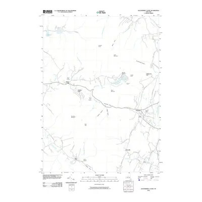
2010 Map of Kaaterskill Clove
USGS Topo · Published 2010About this map
Kaaterskill Clove serves as the dramatic centerpiece of this Catskill Mountain landscape, where extreme vertical relief defines the settlement patterns and transport corridors. The village of Palenville sits at the foot of the gorge, while higher elevations host the historic enclave of Twilight Park and the site of the Mountain House perched near Artists Rock. This survey documents a region defined by its hydrology and geology, from the drop of Kaaterskill Falls to the deep recesses of Wildcat Ravine and Santa Cruz Ravine.
Find a feature on this map
67 named features on this map. Tap any name to fly to it.
Don’t see what you’re looking for? This feature index may not catch every label — zoom into the map to look around manually.
Map Details
Editions of this 2010 Kaaterskill Clove Map
This is the sole edition of this map. No revisions or reprints were ever made.
Other maps of this area

1892 · Kaaterskill
USGS Topo · 1:62,500

1893 · Kaaterskill
USGS Topo · 1:62,500

1893 · Coxsackie
USGS Topo · 1:62,500

1893 · Durham
USGS Topo · 1:62,500

1894 · Coxsackie
USGS Topo · 1:62,500

1894 · Kaaterskill
USGS Topo · 1:62,500

1894 · Durham
USGS Topo · 1:62,500

1895 · Catskill
USGS Topo · 1:62,500

1899 · Kaaterskill
USGS Topo · 1:62,500

1903 · Kaaterskill
USGS Topo · 1:62,500