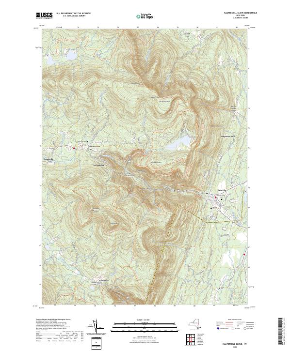
2023 Map of Kaaterskill Clove
USGS Topo · Published 2023About this map
Kaaterskill Clove and the steep eastern escarpment of the Catskill Mountains define this landscape, where the dramatic elevation change from the Hudson Valley floor to the mountain peaks creates a labyrinth of deep ravines and waterfalls. Early mountain tourism and residential enclaves are evident in the layout of Twilight Park and Ledgewood Park, while the surrounding terrain is marked by legendary landmarks such as Rip Van Winkle Hollow and Artists Rock.
Find a feature on this map
118 named features on this map. Tap any name to fly to it.
Don’t see what you’re looking for? This feature index may not catch every label — zoom into the map to look around manually.
Map Details
Editions of this 2023 Kaaterskill Clove Map
This is the sole edition of this map. No revisions or reprints were ever made.
Other maps of this area

1892 · Kaaterskill
USGS Topo · 1:62,500

1893 · Kaaterskill
USGS Topo · 1:62,500

1893 · Coxsackie
USGS Topo · 1:62,500

1893 · Durham
USGS Topo · 1:62,500

1894 · Coxsackie
USGS Topo · 1:62,500

1894 · Kaaterskill
USGS Topo · 1:62,500

1894 · Durham
USGS Topo · 1:62,500

1895 · Catskill
USGS Topo · 1:62,500

1899 · Kaaterskill
USGS Topo · 1:62,500

1903 · Kaaterskill
USGS Topo · 1:62,500