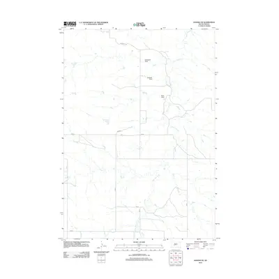
2012 Map of Kadoka NE
USGS Topo · Published 2012About this map
White Willow Creek serves as the central drainage for this section of Jackson County, carving a series of complex draws through the open plains. The landscape is defined by its subtle hydrologic patterns, where seasonal watercourses like Busy Creek, Brady Creek, and Ouster Creek converge toward the larger creek system. These natural features provided the essential orientation for the area's early road network, which often followed the higher ground between these drainages.
Find a feature on this map
20 named features on this map. Tap any name to fly to it.
Don’t see what you’re looking for? This feature index may not catch every label — zoom into the map to look around manually.
Map Details
Editions of this 2012 Kadoka NE Map
This is the sole edition of this map. No revisions or reprints were ever made.
Other maps of this area

1950 · Weta
USGS Topo · 1:24,000

1951 · Kadoka
USGS Topo · 1:24,000

1951 · Belvidere SW
USGS Topo · 1:24,000

1953 · Philip Junction
USGS Topo · 1:24,000

1953 · Philip
USGS Topo · 1:24,000

1953 · Philip SE
USGS Topo · 1:24,000

1954 · Belvidere NW
USGS Topo · 1:24,000

1954 · Kadoka NE
USGS Topo · 1:24,000

1954 · Powell
USGS Topo · 1:24,000

1954 · Pierre
USGS Topo · 1:250,000