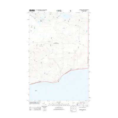
2013 Map of Kadunce River
USGS Topo · Published 2013About this map
Lake Superior dominates the southern edge of this Cook County survey, where the North Shore's rocky topography meets the dense timber of the Superior National Forest. The landscape is defined by the steep descent of waterways like the Kadunce River, Kimball Creek, and Cliff Creek as they cut through the highlands toward the great lake. Along the shoreline, State Highway 61 serves as the primary artery, connecting the small settlement of Covill and the Colvill Homestead.
Find a feature on this map
28 named features on this map. Tap any name to fly to it.
Don’t see what you’re looking for? This feature index may not catch every label — zoom into the map to look around manually.
Map Details
Editions of this 2013 Kadunce River Map
This is the sole edition of this map. No revisions or reprints were ever made.
Other maps of this area

1919 · Grand Marais
USGS Topo · 1:62,500

1954 · Two Harbors
USGS Topo · 1:250,000

1957 · Two Harbors
USGS Topo · 1:250,000

1958 · Two Harbors
USGS Topo · 1:250,000

1959 · Northern Light Lake
USGS Topo · 1:24,000

1959 · Pine Mountain
USGS Topo · 1:24,000

1959 · Tom Lake
USGS Topo · 1:24,000

1960 · Grand Marais
USGS Topo · 1:24,000
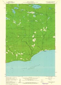
1960 · Kadunce Creek
USGS Topo · 1:24,000
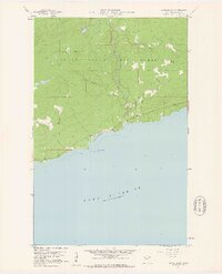
1960 · Marr Island
USGS Topo · 1:24,000