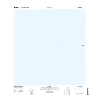
2013 Map of Kahoolawe OE W
USGS Topo · Published 2013About this map
Lae 'O Kealaikahiki marks the westernmost point of land on this nautical-focused sheet, where the rocky coastline meets the expansive Pacific Ocean. This coastal boundary represents a significant geographical marker within the Hawaiian archipelago, specifically off the island of Kahoʻolawe in Maui County. The map focuses almost entirely on the marine environment, illustrating the proximity of the shoreline to the vast open water. For researchers and maritime historians, this 2013 survey provides a precise modern baseline of the island's western fringe, where land and sea converge at this culturally and geographically distinct point.
Find a feature on this map
2 named features on this map. Tap any name to fly to it.
Don’t see what you’re looking for? This feature index may not catch every label — zoom into the map to look around manually.
Map Details
Editions of this 2013 Kahoolawe OE W Map
This is the sole edition of this map. No revisions or reprints were ever made.
Other maps of this area

1929 · Kahoolawe
USGS Topo · 1:62,500

1954 · Maui
USGS Topo · 1:250,000

1966 · Maui
USGS Topo · 1:250,000

1974 · Maui
USGS Topo · 1:250,000
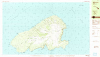
1984 · Kahoolawe
USGS Topo · 1:25,000
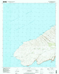
1991 · Kahoolawe West
USGS Topo · 1:24,000
2013 · Kahoolawe OE N
USGS Topo · 1:24,000
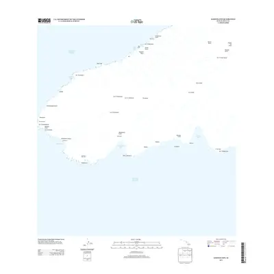
2013 · Kahoolawe
USGS Topo · 1:24,000
2017 · Kahoolawe OE W
USGS Topo · 1:24,000
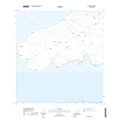
2017 · Kahoolawe
USGS Topo · 1:24,000