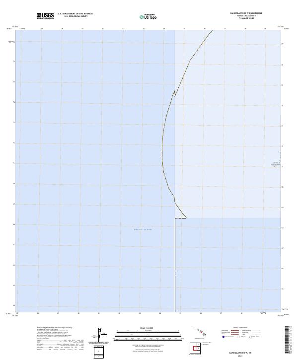
2024 Map of Kahoolawe OE W
USGS Topo · Published 2024About this map
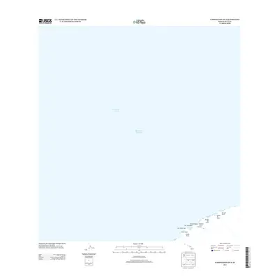
Lae ‘O Kealaikahiki marks the easternmost point of land on this chart, a coastal feature defined by the vast expanse of the Pacific Ocean. This 2024 survey depicts a maritime boundary area near Maui County, where the terrestrial landscape meets the sea. Because elevation data for the area did not meet accuracy standards at the time of publication, the map focuses on the shoreline and the hydrographic extent rather than inland topography. It serves as a modern record of the shoreline's position, providing a clear view of the point at Kealaikahiki and the immediate surrounding waters.
Find a feature on this map
2 named features on this map. Tap any name to fly to it.
Don’t see what you’re looking for? This feature index may not catch every label — zoom into the map to look around manually.
Map Details
Editions of this 2024 Kahoolawe OE W Map
This is the sole edition of this map. No revisions or reprints were ever made.
Other maps of this area

1929 · Kahoolawe
USGS Topo · 1:62,500

1954 · Maui
USGS Topo · 1:250,000

1966 · Maui
USGS Topo · 1:250,000

1974 · Maui
USGS Topo · 1:250,000
1984 · Kahoolawe
USGS Topo · 1:25,000
1991 · Kahoolawe West
USGS Topo · 1:24,000
2013 · Kahoolawe OE W
USGS Topo · 1:24,000
2013 · Kahoolawe OE N
USGS Topo · 1:24,000
2013 · Kahoolawe
USGS Topo · 1:24,000
2017 · Kahoolawe OE W
USGS Topo · 1:24,000