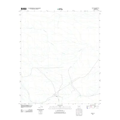
2011 Map of Kaka
USGS Topo · Published 2011About this map
Kaka sits at a critical junction in the Sonoran desert landscape, where the primary local thoroughfares of Indian Rte 342 and Indian Rte 23 meet. This 2011 survey illustrates the sparse, high-desert settlement pattern characteristic of the Tohono O'odham Nation, defined more by natural drainage than dense development. The terrain is dominated by the intricate network of the Kohatk Wash, which meanders across the northern and central portions of the quadrangle. Closer to the settlement, the namesake Kaka Wash provides the primary hydrologic feature, carving through the arid basin. The map serves as a precise record of these intermittent watercourses and the simple transportation lines that connect this remote community to the broader region.
Find a feature on this map
5 named features on this map. Tap any name to fly to it.
Don’t see what you’re looking for? This feature index may not catch every label — zoom into the map to look around manually.
Map Details
Editions of this 2011 Kaka Map
This is the sole edition of this map. No revisions or reprints were ever made.
Other maps of this area

1941 · Vekol Mountains
USGS Topo · 1:62,500

1942 · Vekol Mountains
USGS Topo · 1:62,500

1953 · Ajo
USGS Topo · 1:250,000

1957 · Ajo
USGS Topo · 1:250,000

1958 · Ajo
USGS Topo · 1:250,000

1958 · Kaka
USGS Topo · 1:62,500

1962 · Ajo
USGS Topo · 1:250,000

1963 · Ajo
USGS Topo · 1:250,000

1963 · Gu Achi
USGS Topo · 1:62,500

1963 · Cimarron Peak
USGS Topo · 1:62,500