Loading...
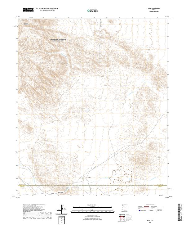
Loading map...2021 Map of Kaka
USGS Topo · Published 2021About this map
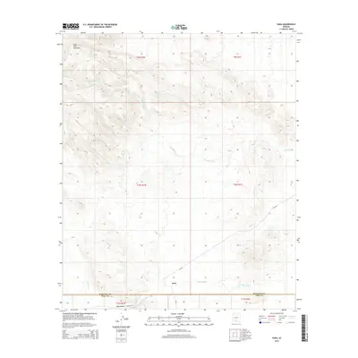
The settlement of Kaka anchors this desert landscape in the Tohono O'odham Nation, situated near the intersection of Indian Rte 242 and Indian Rte 23. The terrain is defined by the Sano Tank Mountains to the northwest, which give way to the broad expanse of the Kaka Valley in the south. This area is characterized by an intricate network of desert drainages, most notably the winding paths of Kohatk Wash and Kaka Wash that traverse the arid flats.
Find a feature on this map
15 named features on this map. Tap any name to fly to it.
Don’t see what you’re looking for? This feature index may not catch every label — zoom into the map to look around manually.
Map Details
Date Portrayed2021
Date Published2021
PublisherU.S. Geological Survey
Map TypeTopographic
Scale1:24,000
Physical Dimensions24 x 29 inches
Editions of this 2021 Kaka Map
This is the sole edition of this map. No revisions or reprints were ever made.
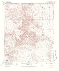
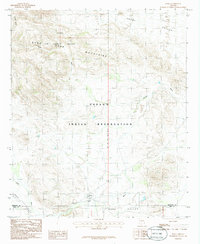
Historical Maps of Hickiwan Through Time
6 maps found
Featured Locations
Source Details
SourceU.S. Geological Survey
CopyrightPublic Domain