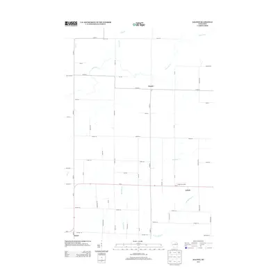
2013 Map of Kalinke
USGS Topo · Published 2013About this map
Kalinke and Glandon anchor this Lincoln County landscape, where a dense network of country roads like Co Hwy-G and Sunrise Rd crisscross a terrain defined by its waterways. The Trappe River meanders through the northern section, while the southern half is drained by Big Sandy Cr and the E Br Big Sandy Cr. This survey illustrates the rural organization of the region, featuring a mix of dairy-era farm roads and the occasional specialized landmark such as the Knight Sky Airport located just west of Kalinke.
Find a feature on this map
48 named features on this map. Tap any name to fly to it.
Don’t see what you’re looking for? This feature index may not catch every label — zoom into the map to look around manually.
Map Details
Editions of this 2013 Kalinke Map
This is the sole edition of this map. No revisions or reprints were ever made.
Other maps of this area

1899 · Wausau
USGS Topo · 1:125,000

1902 · Wausau
USGS Topo · 1:125,000

1951 · Doering
USGS Topo · 1:48,000

1951 · Merrill
USGS Topo · 1:48,000

1953 · Wausau
USGS Topo · 1:48,000

1953 · Hatley
USGS Topo · 1:48,000

1954 · Iron Mountain
USGS Topo · 1:250,000

1955 · Green Bay
USGS Topo · 1:250,000

1959 · Iron Mountain
USGS Topo · 1:250,000
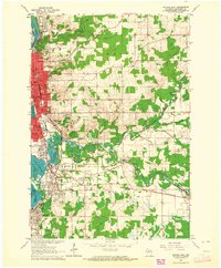
1963 · Wausau East
USGS Topo · 1:24,000