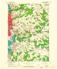
1963 Map of Wausau East
USGS Topo · Published 1964About this map
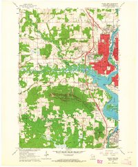
The Wisconsin River corridor anchors this 1963 survey, revealing the industrial and residential development of Marathon County. The urban center of Wausau dominates the northwestern quadrant, featuring a dense grid of streets like Bridge St and Franklin St, alongside institutional landmarks such as the Courthouse and High Sch. To the south, the landscape shifts toward the sprawling Eau Claire Flowage and Lake Wausau, where the neighboring communities of Schofield and Rothschild developed around the region's water resources and transportation networks.
Find a feature on this map
70 named features on this map. Tap any name to fly to it.
Don’t see what you’re looking for? This feature index may not catch every label — zoom into the map to look around manually.
Map Details
Editions of this 1963 Wausau East Map
2 editions found

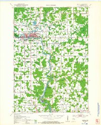
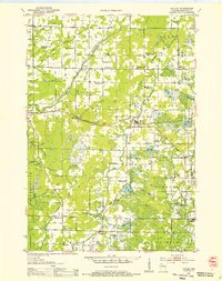
Other maps of this area

1899 · Wausau
USGS Topo · 1:125,000

1902 · Wausau
USGS Topo · 1:125,000
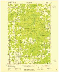
1951 · Doering
USGS Topo · 1:48,000
1951 · Merrill
USGS Topo · 1:48,000

1953 · Wausau
USGS Topo · 1:48,000
1953 · Hatley
USGS Topo · 1:48,000

1954 · Iron Mountain
USGS Topo · 1:250,000

1955 · Green Bay
USGS Topo · 1:250,000

1959 · Iron Mountain
USGS Topo · 1:250,000
1963 · Wausau West
USGS Topo · 1:24,000