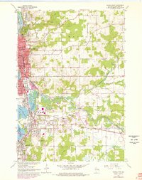
1963 Map of Wausau East
USGS Topo · Published 1978About this map
The Wisconsin River corridor defines this mid-century landscape, where industrial and suburban growth converge near the confluence of the Eau Claire River. The 1978 update, shown in purple, highlights the rapid expansion of Wausau, Schofield, and Rothschild as new residential developments and institutional buildings filled the gaps between historic rail lines. A dense concentration of civic life is visible in the downtown grid, anchored by the Courthouse and several parochial institutions like St Marys Sch and St Michaels Sch.
Find a feature on this map
63 named features on this map. Tap any name to fly to it.
Don’t see what you’re looking for? This feature index may not catch every label — zoom into the map to look around manually.
Map Details
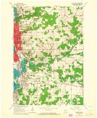
Editions of this 1963 Wausau East Map
2 editions found
Other maps of this area

1899 · Wausau
USGS Topo · 1:125,000

1902 · Wausau
USGS Topo · 1:125,000

1951 · Doering
USGS Topo · 1:48,000

1951 · Merrill
USGS Topo · 1:48,000

1953 · Wausau
USGS Topo · 1:48,000

1953 · Hatley
USGS Topo · 1:48,000

1954 · Iron Mountain
USGS Topo · 1:250,000

1955 · Green Bay
USGS Topo · 1:250,000

1959 · Iron Mountain
USGS Topo · 1:250,000

1963 · Wausau West
USGS Topo · 1:24,000