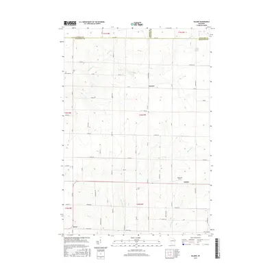
2015 Map of Kalinke
USGS Topo · Published 2015About this map
The Trappe River and its numerous tributaries, including Prospect Cr and Skunk Cr, define this landscape at the intersection of Lincoln, Langlade, and Marathon Counties. Small settlements and rural crossroads like Glandon and Kalinke anchor the eastern side of the survey, while Sunset sits near the southwestern corner. The mapping detail highlights a transition from the agricultural grid to the northern forests, with landmarks such as Trinity Cem and Zions Cem providing valuable points of reference for genealogists tracing local families.
Find a feature on this map
43 named features on this map. Tap any name to fly to it.
Don’t see what you’re looking for? This feature index may not catch every label — zoom into the map to look around manually.
Map Details
Editions of this 2015 Kalinke Map
This is the sole edition of this map. No revisions or reprints were ever made.
Other maps of this area

1899 · Wausau
USGS Topo · 1:125,000

1902 · Wausau
USGS Topo · 1:125,000

1951 · Doering
USGS Topo · 1:48,000

1951 · Merrill
USGS Topo · 1:48,000

1953 · Wausau
USGS Topo · 1:48,000

1953 · Hatley
USGS Topo · 1:48,000

1954 · Iron Mountain
USGS Topo · 1:250,000

1955 · Green Bay
USGS Topo · 1:250,000

1959 · Iron Mountain
USGS Topo · 1:250,000
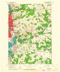
1963 · Wausau East
USGS Topo · 1:24,000