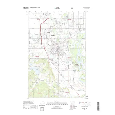
2020 Map of Kalispell
USGS Topo · Published 2020About this map
Kalispell and its immediate surroundings are defined by a complex network of waterways, where the Stillwater River, Whitefish River, and Ashley Creek converge near the Flathead River. This modern 2020 topographic study shows the concentrated urban grid of the city, including institutional anchors like the Flathead Valley Community College and the Flathead County Justice Center. The map details the transition from the dense residential blocks of Northridge Heights and Evergreen to the more open Flathead Valley to the east.
Find a feature on this map
82 named features on this map. Tap any name to fly to it.
Don’t see what you’re looking for? This feature index may not catch every label — zoom into the map to look around manually.
Map Details
Editions of this 2020 Kalispell Map
This is the sole edition of this map. No revisions or reprints were ever made.
Other maps of this area

1943 · Kalispell
USGS Topo · 1:125,000

1957 · Kalispell
USGS Topo · 1:250,000

1960 · Kalispell
USGS Topo · 1:250,000

1961 · Kalispell
USGS Topo · 1:250,000

1962 · Kila
USGS Topo · 1:24,000

1962 · Columbia Falls South
USGS Topo · 1:24,000

1962 · Rose Crossing
USGS Topo · 1:24,000

1962 · Blue Grass Ridge
USGS Topo · 1:24,000

1962 · Lion Mountain
USGS Topo · 1:24,000

1962 · Somers
USGS Topo · 1:24,000