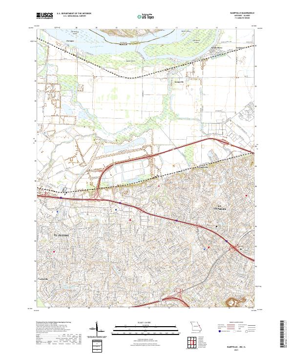
2021 Map of Kampville
USGS Topo · Published 2021About this map
ST. Charles and ST. Peters dominate the southern half of this landscape, showing the intensive suburban development of the modern era along the Mississippi River. The northern section remains more transitional and riparian, characterized by large river islands like Two Branch Island, Apple Island, and Dardenne Island. Smaller riverfront settlements such as Kampville, Peruque, and South Shore reflect the area's long-standing connection to the waterway, accessible via the Golden Eagle-Ferry Rd.
Find a feature on this map
332 named features on this map. Tap any name to fly to it.
Don’t see what you’re looking for? This feature index may not catch every label — zoom into the map to look around manually.
Map Details
Editions of this 2021 Kampville Map
This is the sole edition of this map. No revisions or reprints were ever made.
Other maps of this area

1903 · O'Fallon
USGS Topo · 1:125,000

1924 · Robertson
USGS Topo · 1:24,000

1927 · St. Charles
USGS Topo · 1:62,500

1931 · Brussels
USGS Topo · 1:62,500

1932 · Manchester NE
USGS Topo · 1:24,000

1933 · Creve Coeur
USGS Topo · 1:24,000

1933 · Saint Charles
USGS Topo · 1:62,500

1937 · Weldon Spring
USGS Topo · 1:24,000

1939 · Brussels
USGS Topo · 1:62,500

1940 · Weldon Spring
USGS Topo · 1:24,000