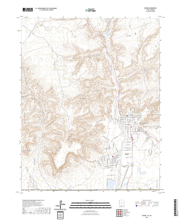
2023 Map of Kanab
USGS Topo · Published 2023About this map
Kanab sits at the base of the dramatic Vermilion Cliffs, serving as a gateway between the Moquith Mountains to the west and the intricate canyon systems to the north. The town's grid is anchored by the Kane County Court House and local cultural landmarks like the Indian Dance Hall, reflecting its long-standing role as a regional civic center. Mapping of the area reveals a landscape defined by vertical relief, from the heights of Savage Point and Cottonwood Point down to the drainage of Kanab Creek. Local heritage is well-documented through sites such as the Kanab Pioneer Park Cem and Kanab City Cem, providing valuable touchpoints for genealogical research. The presence of the Kanab Municipal Airport and a developed network of roads, including Old US Hwy 89, illustrates the evolution of transportation in this pocket of southern Utah near the Arizona border.
Find a feature on this map
64 named features on this map. Tap any name to fly to it.
Don’t see what you’re looking for? This feature index may not catch every label — zoom into the map to look around manually.
Map Details
Editions of this 2023 Kanab Map
This is the sole edition of this map. No revisions or reprints were ever made.
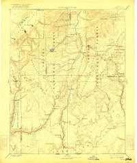
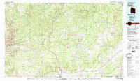
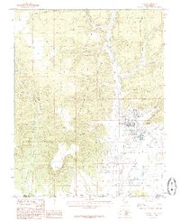
Historical Maps of Kanab Through Time
5 maps found