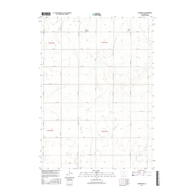
2015 Map of Kanawha SE
USGS Topo · Published 2015About this map
Eagle Creek and its various tributaries define the low-lying prairie landscape of Wright County in this mid-2010s survey. The terrain is structured by a rigorous grid of section-line roads, including Ida Avenue and Keokuk Avenue, reflecting the enduring surveyor's grid that governs North Central Iowa's agricultural heartland. Human presence is anchored by historic burial sites such as the Norway Township Cemetery and the Wright City Christian Reform Cemetery, which stand as landmarks of the area's early settlement.
Find a feature on this map
31 named features on this map. Tap any name to fly to it.
Don’t see what you’re looking for? This feature index may not catch every label — zoom into the map to look around manually.
Map Details
Editions of this 2015 Kanawha SE Map
This is the sole edition of this map. No revisions or reprints were ever made.
Other maps of this area

1954 · Waterloo
USGS Topo · 1:250,000

1955 · Waterloo
USGS Topo · 1:250,000

1972 · Kanawha SE
USGS Topo · 1:24,000

1972 · Cornelia
USGS Topo · 1:24,000

1972 · Corwith
USGS Topo · 1:24,000

1972 · Kanawha
USGS Topo · 1:24,000

1972 · Olaf
USGS Topo · 1:24,000

1972 · Renwick
USGS Topo · 1:24,000

1978 · Holmes
USGS Topo · 1:24,000

1978 · Clarion
USGS Topo · 1:24,000