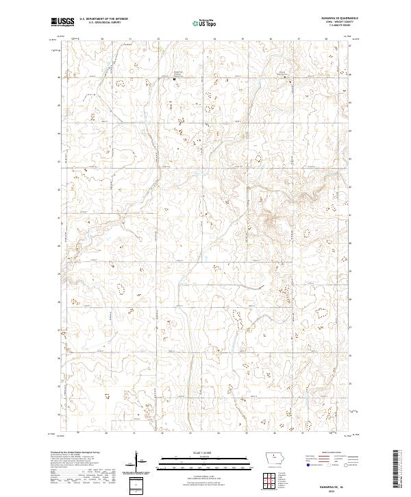
2022 Map of Kanawha SE
USGS Topo · Published 2022About this map
Agricultural patterns and water management define this portion of Wright County, where a network of section-line roads like Greene Ave and Ida Ave crisscross a landscape shaped by drainage engineering. The presence of Drainage Ditch Number 107 and Ditch Number 36 indicates the historical effort to reclaim prairie wetlands for productive farmland, a defining characteristic of this region. Natural waterways, including Otter Cr and Eagle Cr, wind through the grid, creating the only breaks in the uniform agricultural parcels.
Find a feature on this map
30 named features on this map. Tap any name to fly to it.
Don’t see what you’re looking for? This feature index may not catch every label — zoom into the map to look around manually.
Map Details
Editions of this 2022 Kanawha SE Map
This is the sole edition of this map. No revisions or reprints were ever made.
Other maps of this area

1954 · Waterloo
USGS Topo · 1:250,000

1955 · Waterloo
USGS Topo · 1:250,000

1972 · Kanawha SE
USGS Topo · 1:24,000

1972 · Cornelia
USGS Topo · 1:24,000

1972 · Corwith
USGS Topo · 1:24,000

1972 · Kanawha
USGS Topo · 1:24,000

1972 · Olaf
USGS Topo · 1:24,000

1972 · Renwick
USGS Topo · 1:24,000

1978 · Holmes
USGS Topo · 1:24,000

1978 · Clarion
USGS Topo · 1:24,000