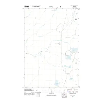
2011 Map of Kane Lake
USGS Topo · Published 2011About this map
The Cloquet River and its tributaries define this pocket of the Minnesota north woods, where water management and forestry infrastructure are central to the landscape. Modern management of the watershed is evidenced by Sullivan Lake Dam and the Gabbro Lake Number Two Dam, while the Marble Lookout Tower stands as a sentinel for forest fire monitoring in the eastern portion of the quadrangle.
Find a feature on this map
26 named features on this map. Tap any name to fly to it.
Don’t see what you’re looking for? This feature index may not catch every label — zoom into the map to look around manually.
Map Details
Editions of this 2011 Kane Lake Map
This is the sole edition of this map. No revisions or reprints were ever made.
Other maps of this area

1953 · Whyte
USGS Topo · 1:62,500

1954 · Two Harbors
USGS Topo · 1:250,000

1956 · King Lake
USGS Topo · 1:24,000

1957 · Two Harbors
USGS Topo · 1:250,000

1957 · Two Harbors
USGS Topo · 1:62,500

1957 · Brimson
USGS Topo · 1:62,500

1957 · Two Harbors NE
USGS Topo · 1:24,000

1958 · Two Harbors
USGS Topo · 1:250,000

1964 · Two Harbors
USGS Topo · 1:250,000

1976 · Two Harbors
USGS Topo · 1:100,000