
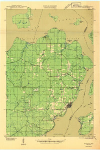
1976 Map of Two Harbors
USGS Topo · Published 1994About this map
Lake Superior defines the eastern boundary of this mid-1970s survey, where the rugged North Shore landscape meets the industry of the Minnesota Iron Range. The port of Two Harbors serves as a primary hub, anchored by the Duluth Missabe and Iron Range RR which connects the inland mining regions to the docks at Agate Bay and Burlington Bay. Moving northeast along the shoreline, the map identifies significant landmarks including Split Rock Lighthouse State Park, Palisade Head, and the cliffside at Shovel Point.
Find a feature on this map
56 named features on this map. Tap any name to fly to it.
Don’t see what you’re looking for? This feature index may not catch every label — zoom into the map to look around manually.
Map Details
Editions of this 1976 Two Harbors Map
This is the sole edition of this map. No revisions or reprints were ever made.
Other maps of this area

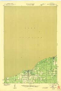
1895 · Duluth
USGS Topo · 1:62,500

1941 · Bayfield
USGS Topo · 1:48,000

1943 · Port Wing
USGS Topo · 1:48,000

1944 · Cornucopia
USGS Topo · 1:48,000

1946 · Cornucopia
USGS Topo · 1:48,000
1946 · Bayfield
USGS Topo · 1:48,000
1946 · Port Wing
USGS Topo · 1:48,000

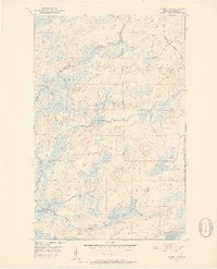
1949 · Allen
USGS Topo · 1:24,000
1950 · Allen
USGS Topo · 1:24,000
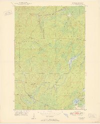
1951 · Babbitt SW
USGS Topo · 1:24,000
Featured Places
- Two Harbors, MN
- Silver Bay, MN
- Silver Creek, Silver Creek Township
- Beaver Bay, MN
- Fairbanks, Fairbanks Township