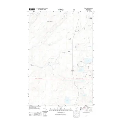
2013 Map of Kane Lake
USGS Topo · Published 2013About this map
The Superior National Forest dominates this northern Minnesota landscape, where a dense network of water bodies and rivers defines the local geography. Major waterways like the Cloquet River and Langley River wind through the timberland, joined by numerous smaller tributaries such as Little Langley River and Murphy Cr. The map reveals a region shaped by natural drainage and isolated outposts, with several significant lakes scattered across the quadrangle, including Kane Lake, Marble Lake, and Christianson Lake.
Find a feature on this map
25 named features on this map. Tap any name to fly to it.
Don’t see what you’re looking for? This feature index may not catch every label — zoom into the map to look around manually.
Map Details
Editions of this 2013 Kane Lake Map
This is the sole edition of this map. No revisions or reprints were ever made.
Other maps of this area

1953 · Whyte
USGS Topo · 1:62,500

1954 · Two Harbors
USGS Topo · 1:250,000

1956 · King Lake
USGS Topo · 1:24,000

1957 · Two Harbors
USGS Topo · 1:250,000

1957 · Two Harbors
USGS Topo · 1:62,500

1957 · Brimson
USGS Topo · 1:62,500

1957 · Two Harbors NE
USGS Topo · 1:24,000

1958 · Two Harbors
USGS Topo · 1:250,000

1964 · Two Harbors
USGS Topo · 1:250,000

1976 · Two Harbors
USGS Topo · 1:100,000