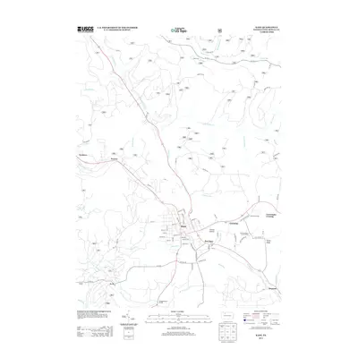
2013 Map of Kane
USGS Topo · Published 2013About this map
Kane serves as the central hub of this McKean County landscape, situated atop the high ground of Clarion Summit. The town's grid is dense with named streets like Pennsylvania Ave and Kinzua Rd, radiating outward toward smaller settlements such as East Kane and Greendale. To the east, the landscape transitions toward Rocky Ridge, while the area around Cartwrights Crossing features the Mountain Grange and the Free Methodist Church Camp, reflecting the community-centered layout of the early 21st century.
Find a feature on this map
69 named features on this map. Tap any name to fly to it.
Don’t see what you’re looking for? This feature index may not catch every label — zoom into the map to look around manually.
Map Details
Editions of this 2013 Kane Map
This is the sole edition of this map. No revisions or reprints were ever made.
Other maps of this area

1924 · Bradford
USGS Topo · 1:62,500

1926 · Bradford
USGS Topo · 1:62,500

1934 · Kane
USGS Topo · 1:48,000

1935 · Mt. Jewett
USGS Topo · 1:48,000

1936 · Kinzua
USGS Topo · 1:48,000

1939 · Kane
USGS Topo · 1:62,500

1940 · Mt. Jewett
USGS Topo · 1:62,500

1941 · Kinzua
USGS Topo · 1:62,500

1941 · Bradford
USGS Topo · 1:62,500

1944 · Bradford
USGS Topo · 1:62,500
Featured Places
- Kane, PA
- Sergeant, Wetmore Township
- Jo Jo, Wetmore Township
- East Kane, Wetmore Township
- Greendale, Wetmore Township