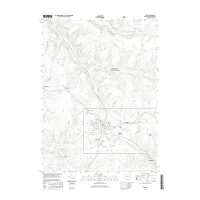
2016 Map of Kane
USGS Topo · Published 2016About this map
Kane serves as the primary hub of this area within the Allegheny National Forest, where a dense network of residential streets like Dawson St Exd and Hemlock Ave centers on the local industry and transportation corridors. Several significant burial grounds are established around the periphery of the town, including Forest Lawn Cemetery, Mount Tabor Cemetery, and Saint Callistus Cemetery, providing valuable points of interest for genealogists studying the families of McKean County.
Find a feature on this map
83 named features on this map. Tap any name to fly to it.
Don’t see what you’re looking for? This feature index may not catch every label — zoom into the map to look around manually.
Map Details
Editions of this 2016 Kane Map
This is the sole edition of this map. No revisions or reprints were ever made.
Other maps of this area

1924 · Bradford
USGS Topo · 1:62,500

1926 · Bradford
USGS Topo · 1:62,500

1934 · Kane
USGS Topo · 1:48,000

1935 · Mt. Jewett
USGS Topo · 1:48,000

1936 · Kinzua
USGS Topo · 1:48,000

1939 · Kane
USGS Topo · 1:62,500

1940 · Mt. Jewett
USGS Topo · 1:62,500

1941 · Kinzua
USGS Topo · 1:62,500

1941 · Bradford
USGS Topo · 1:62,500

1944 · Bradford
USGS Topo · 1:62,500
Featured Places
- Kane, PA
- Sergeant, Wetmore Township
- Jo Jo, Wetmore Township
- East Kane, Wetmore Township
- Greendale, Wetmore Township