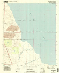
1992 Map of Kane Spring NE
USGS Topo · Published 1995About this map
The Salton Sea dominates this landscape, showing the shoreline as it stood in the early 1990s at an elevation of 228 feet below sea level. This desert sink environment is divided between conservation and military use, notably featuring the Salton Sea National Wildlife Refuge and the Salton Sea Test Base. The topography illustrates the stark meeting of water and arid land, with Sand Dunes and a Landing Strip situated along the western shore.
Find a feature on this map
21 named features on this map. Tap any name to fly to it.
Don’t see what you’re looking for? This feature index may not catch every label — zoom into the map to look around manually.
Map Details
Editions of this 1992 Kane Spring NE Map
This is the sole edition of this map. No revisions or reprints were ever made.
Other maps of this area

1940 · Kane Spring
USGS Topo · 1:62,500

1940 · Frink
USGS Topo · 1:62,500

1940 · Durmid
USGS Topo · 1:62,500

1944 · Durmid
USGS Topo · 1:62,500

1944 · Kane Spring
USGS Topo · 1:62,500

1944 · Calipatria
USGS Topo · 1:62,500

1944 · Frink
USGS Topo · 1:62,500

1954 · Salton Sea
USGS Topo · 1:250,000

1955 · Salton Sea
USGS Topo · 1:250,000
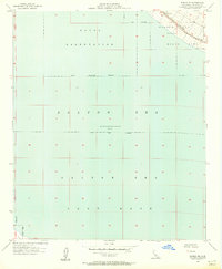
1956 · Durmid SE
USGS Topo · 1:24,000