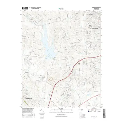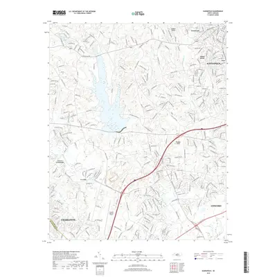
1993 Map of Kannapolis
USGS Topo · Published 1996About this map
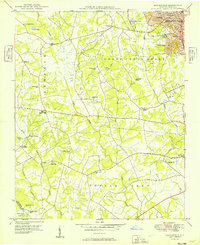
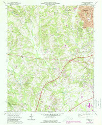
Kannapolis serves as the primary urban center in this mid-1990s record of the Piedmont landscape, where residential expansion meets a network of long-established rural landmarks. The map documents a significant density of community pillars, including numerous country churches such as Bethpage Ch and Poplar Tent Ch, alongside the Macedonia Ch Cem. The landscape is defined by its waterways, notably the winding Coddle Creek and Irish Buffalo Creek, which carve through the terrain between smaller settlements like Fisher Town and Wallace Crossroads.
Find a feature on this map
45 named features on this map. Tap any name to fly to it.
Don’t see what you’re looking for? This feature index may not catch every label — zoom into the map to look around manually.
Map Details
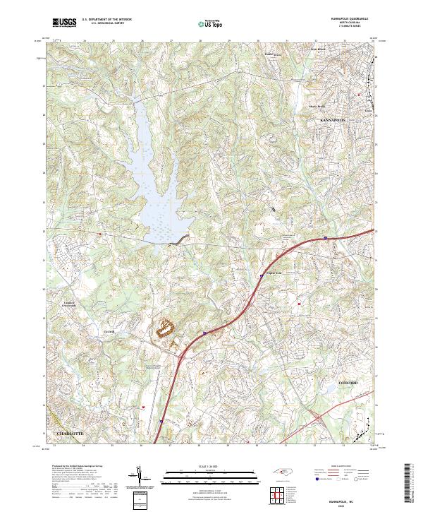
Editions of this 1993 Kannapolis Map
This is the sole edition of this map. No revisions or reprints were ever made.
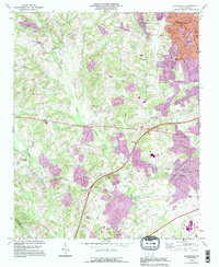
Historical Maps of Charlotte Through Time
8 maps found