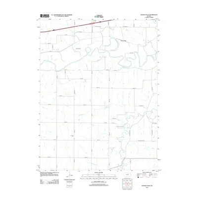
2012 Map of Kansas Falls
USGS Topo · Published 2012About this map
The Smoky Hill River meanders through this portion of Geary County, defining a landscape of riparian bends and significant agricultural plateaus. Central to the topography is Goat Island, a prominent landform created by the river's winding course. The namesake settlement of Kansas Falls is situated near the northern corridor, where the terrain transitions toward the waters of Goose Cr and the natural outlets of Seven Springs. Local history is anchored by the Rinehart Cem, a vital site for genealogical research located in the southwestern quadrant. The map also reveals the rural layout of the region, marked by the confluence of Lyon Cr and Schuler Br, as well as the recreational grounds of Camp Aubrey Henning.
Find a feature on this map
44 named features on this map. Tap any name to fly to it.
Don’t see what you’re looking for? This feature index may not catch every label — zoom into the map to look around manually.
Map Details
Editions of this 2012 Kansas Falls Map
This is the sole edition of this map. No revisions or reprints were ever made.
Other maps of this area

1886 · Junction City
USGS Topo · 1:125,000

1889 · Junction City
USGS Topo · 1:125,000

1889 · Abilene
USGS Topo · 1:125,000

1889 · Parkerville
USGS Topo · 1:125,000

1891 · Clay Center
USGS Topo · 1:125,000

1894 · Junction City
USGS Topo · 1:125,000

1894 · Abilene
USGS Topo · 1:125,000

1894 · Parkerville
USGS Topo · 1:125,000

1947 · Fort Riley
USGS Topo · 1:62,500

1950 · Junction City
USGS Topo · 1:24,000