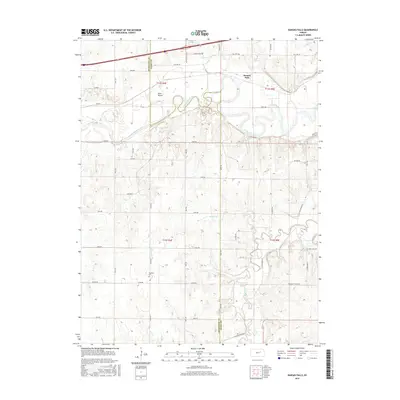
2015 Map of Kansas Falls
USGS Topo · Published 2015About this map
The Smoky Hill River winds through the northern portion of this landscape, carving a wide valley where Kansas Falls is situated. This waterway, which includes the distinct landform of Goat Island, serves as a primary geographic anchor for the region's historical development. The settlement pattern is defined by a rigorous section-line road grid, with routes like Kansas Falls RD and the storied Old Hwy 40 facilitating transit across the rolling prairie.
Find a feature on this map
44 named features on this map. Tap any name to fly to it.
Don’t see what you’re looking for? This feature index may not catch every label — zoom into the map to look around manually.
Map Details
Editions of this 2015 Kansas Falls Map
This is the sole edition of this map. No revisions or reprints were ever made.
Other maps of this area

1886 · Junction City
USGS Topo · 1:125,000

1889 · Junction City
USGS Topo · 1:125,000

1889 · Abilene
USGS Topo · 1:125,000

1889 · Parkerville
USGS Topo · 1:125,000

1891 · Clay Center
USGS Topo · 1:125,000

1894 · Junction City
USGS Topo · 1:125,000

1894 · Abilene
USGS Topo · 1:125,000

1894 · Parkerville
USGS Topo · 1:125,000

1947 · Fort Riley
USGS Topo · 1:62,500

1950 · Junction City
USGS Topo · 1:24,000