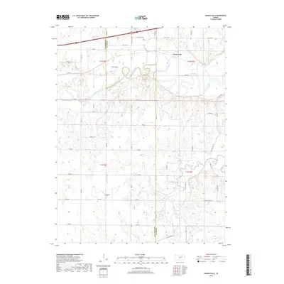
2018 Map of Kansas Falls
USGS Topo · Published 2018About this map
The Smoky Hill River winds through the northern portion of this landscape, forming a complex of oxbows and islands including Goat Island. Along its banks, the landmark of Kansas Falls stands near the intersection of modern transit and older routes like Old Hwy 40. The terrain is defined by the drainage basins of Lyon Creek and Schuler Br, which carve into the rolling plains of the Geary and Dickinson county border. This map captures a rural Kansas township structure where section lines are strictly maintained by a grid of local roads, such as Vane Rd and Trail Rd. For those tracing local history, the Rinehart Cem and names like Seven Springs provide specific points of interest in an area where agricultural land use remains the primary feature.
Find a feature on this map
45 named features on this map. Tap any name to fly to it.
Don’t see what you’re looking for? This feature index may not catch every label — zoom into the map to look around manually.
Map Details
Editions of this 2018 Kansas Falls Map
This is the sole edition of this map. No revisions or reprints were ever made.
Other maps of this area

1886 · Junction City
USGS Topo · 1:125,000

1889 · Junction City
USGS Topo · 1:125,000

1889 · Abilene
USGS Topo · 1:125,000

1889 · Parkerville
USGS Topo · 1:125,000

1891 · Clay Center
USGS Topo · 1:125,000

1894 · Junction City
USGS Topo · 1:125,000

1894 · Abilene
USGS Topo · 1:125,000

1894 · Parkerville
USGS Topo · 1:125,000

1947 · Fort Riley
USGS Topo · 1:62,500

1950 · Junction City
USGS Topo · 1:24,000