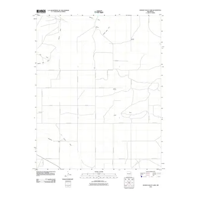
2010 Map of Kansas Valley Lake
USGS Topo · Published 2010About this map
Kansas Valley Lake and a network of seasonal draws define this high plains landscape of northeast New Mexico. The area is marked by a grid of rural routes including County Road R and Unruh Rd, connecting several small named settlements and family locales such as Alexander, Hicks, and Bouleware. This 2010 survey illustrates the ranching-centered infrastructure of the region, where water management is critical to life. Landmarks like Starvation Windmill and Lake Windmill serve as essential navigational points and utility markers in an otherwise open terrain. For those researching local heritage, the Johnson Cemetery provides a specific point of genealogical interest. The drainage system, characterized by features like Reunion Draw, Matilda Draw, and Ojitos Draw, illustrates how the topography directs water through this arid environment, shaping the placement of the sparse homesteads and roads.
Find a feature on this map
29 named features on this map. Tap any name to fly to it.
Don’t see what you’re looking for? This feature index may not catch every label — zoom into the map to look around manually.
Map Details
Editions of this 2010 Kansas Valley Lake Map
This is the sole edition of this map. No revisions or reprints were ever made.
Other maps of this area

1954 · Santa Fe
USGS Topo · 1:250,000

1954 · Raton
USGS Topo · 1:250,000

1954 · Tucumcari
USGS Topo · 1:250,000

1954 · Dalhart
USGS Topo · 1:250,000

1958 · Raton
USGS Topo · 1:250,000

1958 · Santa Fe
USGS Topo · 1:250,000

1958 · Tucumcari
USGS Topo · 1:250,000

1958 · Dalhart
USGS Topo · 1:250,000

1962 · Dalhart
USGS Topo · 1:250,000

1973 · Mosquero
USGS Topo · 1:24,000