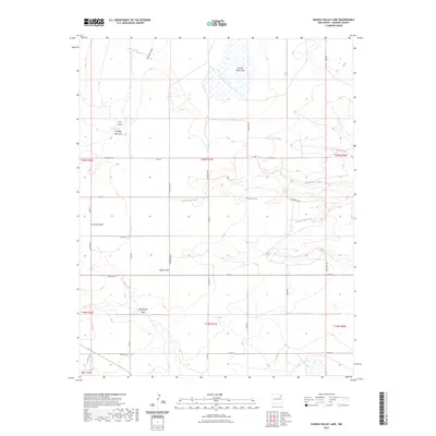
2023 Map of Kansas Valley Lake
USGS Topo · Published 2023About this map
Kansas Valley Lake sits as the central focal point of this arid Harding County landscape, fed and drained by a network of ephemeral watercourses that define the local topography. This high plains environment is characterized by numerous seasonal draws and creeks, including Reunion Draw, Matilda Roy Draw, and the westward-flowing Tequesquite Creek. The area's ranching heritage is evidenced by the sparse but deliberate grid of local county roads, such as Co RD R and Yarbrough Rd, which connect isolated homesteads and landmarks.
Find a feature on this map
38 named features on this map. Tap any name to fly to it.
Don’t see what you’re looking for? This feature index may not catch every label — zoom into the map to look around manually.
Map Details
Editions of this 2023 Kansas Valley Lake Map
This is the sole edition of this map. No revisions or reprints were ever made.
Other maps of this area

1954 · Santa Fe
USGS Topo · 1:250,000

1954 · Raton
USGS Topo · 1:250,000

1954 · Tucumcari
USGS Topo · 1:250,000

1954 · Dalhart
USGS Topo · 1:250,000

1958 · Raton
USGS Topo · 1:250,000

1958 · Santa Fe
USGS Topo · 1:250,000

1958 · Tucumcari
USGS Topo · 1:250,000

1958 · Dalhart
USGS Topo · 1:250,000

1962 · Dalhart
USGS Topo · 1:250,000

1973 · Mosquero
USGS Topo · 1:24,000