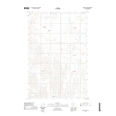
2020 Map of Karsten Coulee
USGS Topo · Published 2020About this map
Cruikshank Flat sits at the center of this 2020 landscape in Phillips County, Montana, representing the high, arid plains character of the region. The drainage patterns are defined by several notable seasonal watercourses, including Dry Fork Cr and Fourchette Cr to the north, and Beauchamp Cr to the south. These coulees and flats form a complex topographical network typical of the Missouri River breaks drainage area. Human presence is sparse, marked primarily by the path of Midale Rd winding through the eastern sections. The map detail highlights the erosion-carved terrain of Karsten Coulee and Dam Coulee, providing a clear view of the section lines and township boundaries that still define land ownership and grazing rights in this part of Montana.
Find a feature on this map
13 named features on this map. Tap any name to fly to it.
Don’t see what you’re looking for? This feature index may not catch every label — zoom into the map to look around manually.
Map Details
Editions of this 2020 Karsten Coulee Map
This is the sole edition of this map. No revisions or reprints were ever made.
Other maps of this area

1954 · Jordan
USGS Topo · 1:250,000

1954 · Lewistown
USGS Topo · 1:250,000

1956 · Jordan
USGS Topo · 1:250,000

1958 · Jordan
USGS Topo · 1:250,000

1959 · Lewistown
USGS Topo · 1:250,000

1964 · Jordan
USGS Topo · 1:250,000

1965 · Karsten Coulee
USGS Topo · 1:24,000

1965 · Dry Coulee
USGS Topo · 1:24,000

1965 · Chain Buttes
USGS Topo · 1:24,000

1965 · Locke Ranch
USGS Topo · 1:24,000