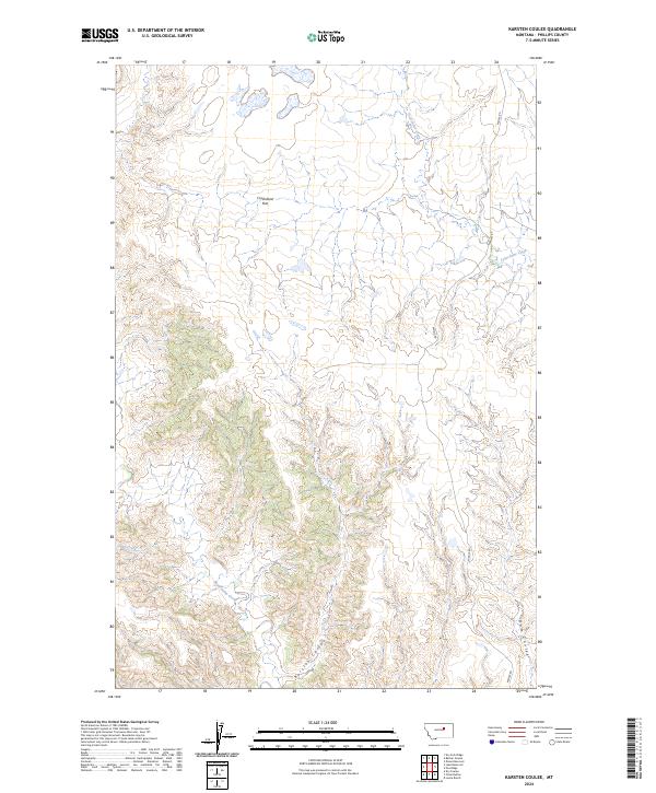
2024 Map of Karsten Coulee
USGS Topo · Published 2024About this map
Charles M Russell National Wildlife Refuge dominates the southwestern quadrant of this landscape, a region defined by intricate drainage patterns and expansive protected lands. The terrain is marked by the eponymous Karsten Coulee and the broad, open expanse of Cruikshank Flat to the north. These features reflect the characteristic geology of central Montana, where seasonal watercourses like Fourchette Creek and Beauchamp Creek have carved deep networks into the plateau.
Find a feature on this map
14 named features on this map. Tap any name to fly to it.
Don’t see what you’re looking for? This feature index may not catch every label — zoom into the map to look around manually.
Map Details
Editions of this 2024 Karsten Coulee Map
This is the sole edition of this map. No revisions or reprints were ever made.
Other maps of this area

1954 · Jordan
USGS Topo · 1:250,000

1954 · Lewistown
USGS Topo · 1:250,000

1956 · Jordan
USGS Topo · 1:250,000

1958 · Jordan
USGS Topo · 1:250,000

1959 · Lewistown
USGS Topo · 1:250,000

1964 · Jordan
USGS Topo · 1:250,000

1965 · Karsten Coulee
USGS Topo · 1:24,000

1965 · Dry Coulee
USGS Topo · 1:24,000

1965 · Chain Buttes
USGS Topo · 1:24,000

1965 · Locke Ranch
USGS Topo · 1:24,000