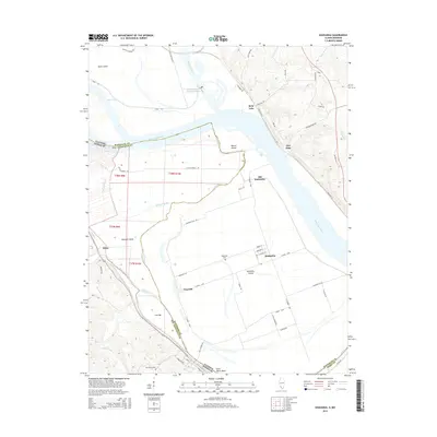
2015 Map of Kaskaskia
USGS Topo · Published 2015About this map
Kaskaskia Island defines this complex borderland along the Mississippi River, where shifting channels have famously isolated the former Illinois capital from its mainland. This landscape is a labyrinth of secondary waterways and historic riverbed remnants like Idlewild Slough, Mitchell Slough, and the Old River course. The map documents the enduring footprint of settlements such as Kaskaskia and Dozaville, situated within the sprawling Common Field district. Higher ground to the east is marked by the site of Fort Gage and the community of Reily Lake, while the Missouri side features the mouth of River aux Vases and Saline Creek. For genealogists, the map specifically locates the Kaskaskia Cem and Saint Marys Cem, providing a precise look at the rural road network including La Grande Rue and N Kings Hwy that links these communities across the bottomlands.
Find a feature on this map
68 named features on this map. Tap any name to fly to it.
Don’t see what you’re looking for? This feature index may not catch every label — zoom into the map to look around manually.
Map Details
Editions of this 2015 Kaskaskia Map
This is the sole edition of this map. No revisions or reprints were ever made.
Other maps of this area

1907 · Weingarten
USGS Topo · 1:62,500

1909 · Weingarten
USGS Topo · 1:62,500

1912 · Baldwin
USGS Topo · 1:62,500

1914 · Baldwin
USGS Topo · 1:62,500

1915 · Renault
USGS Topo · 1:62,500

1915 · Chester
USGS Topo · 1:62,500

1940 · Renault
USGS Topo · 1:62,500

1942 · Baldwin
USGS Topo · 1:62,500

1947 · Chester
USGS Topo · 1:62,500

1949 · Saint Louis
USGS Topo · 1:250,000