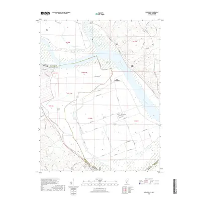
2018 Map of Kaskaskia
USGS Topo · Published 2018About this map
Kaskaskia Island and the shifting course of the Mississippi River dominate this landscape, illustrating the complex riverine geography where Illinois and Missouri meet. This survey captures the unusual geopolitical enclave of Kaskaskia, the former capital of Illinois Territory, which was physically separated from the rest of the state by the great flood of 1881. The map detail highlights the agrarian patterns on the island, accessed by La Grande Rue and Common Field Rd, alongside remnants of earlier settlements at Old Kaskaskia.
Find a feature on this map
77 named features on this map. Tap any name to fly to it.
Don’t see what you’re looking for? This feature index may not catch every label — zoom into the map to look around manually.
Map Details
Editions of this 2018 Kaskaskia Map
This is the sole edition of this map. No revisions or reprints were ever made.
Other maps of this area

1907 · Weingarten
USGS Topo · 1:62,500

1909 · Weingarten
USGS Topo · 1:62,500

1912 · Baldwin
USGS Topo · 1:62,500

1914 · Baldwin
USGS Topo · 1:62,500

1915 · Renault
USGS Topo · 1:62,500

1915 · Chester
USGS Topo · 1:62,500

1940 · Renault
USGS Topo · 1:62,500

1942 · Baldwin
USGS Topo · 1:62,500

1947 · Chester
USGS Topo · 1:62,500

1949 · Saint Louis
USGS Topo · 1:250,000