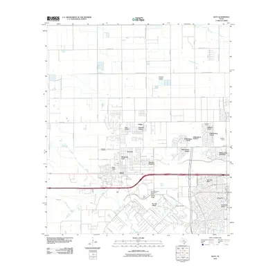
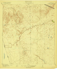
2010 Map of Katy
USGS Topo · Published 2010About this map
Katy serves as the focal point of this 2010 survey, reflecting the suburban expansion of Harris County. The landscape is defined by a transition from open prairie and rural farm roads like Beckendorff Rd to dense residential subdivisions. Large-scale retail development is anchored by Katy Mills, while numerous private aviation strips including King Air Airport and Hoffpauir Airport dot the northern and eastern reaches.
Find a feature on this map
62 named features on this map. Tap any name to fly to it.
Don’t see what you’re looking for? This feature index may not catch every label — zoom into the map to look around manually.
Map Details
Editions of this 2010 Katy Map
This is the sole edition of this map. No revisions or reprints were ever made.
Other maps of this area
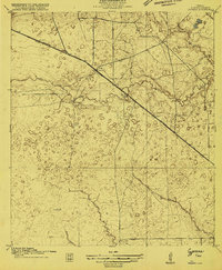
1915 · Cypress
USGS Topo · 1:24,000

1915 · Katy
USGS Topo · 1:24,000
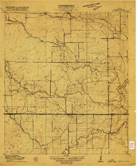
1915 · Addicks
USGS Topo · 1:24,000
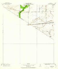
1915 · Clodine
USGS Topo · 1:24,000
1916 · Swanson
USGS Topo · 1:24,000
1918 · Cypress
USGS Topo · 1:31,680
1918 · Addicks
USGS Topo · 1:31,680
1919 · Clodine
USGS Topo · 1:31,680
1919 · Swanson
USGS Topo · 1:31,680

1950 · Houston
USGS Topo · 1:250,000