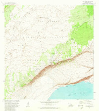
1981 Map of Kau Desert
USGS Topo · Published 1981About this map
Hawaii Volcanoes National Park dominates this volcanic landscape, where the shifting earth is marked by recent geological events like the Lava Flow of 1971 and Lava Flow of 1974. The topography is defined by the massive descent of the Hilina Pali, a coastal escarpment that drops toward the Pacific Ocean. Isolated islands of vegetation, or kipukas, such as Kipuka Pepeiau and Kipuka Kamooalii, appear as green sanctuaries surrounded by the younger, dark lavas of the Kau Desert.
Find a feature on this map
39 named features on this map. Tap any name to fly to it.
Don’t see what you’re looking for? This feature index may not catch every label — zoom into the map to look around manually.
Map Details
Editions of this 1981 Kau Desert Map
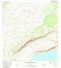
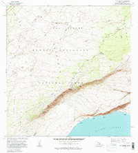
3 editions found
Other maps of this area

1921 · Kilauea
USGS Topo · 1:62,500

1922 · Puna
USGS Topo · 1:62,500

1923 · Pahala
USGS Topo · 1:62,500

1924 · Kilauea
USGS Topo · 1:62,500

1924 · Puna
USGS Topo · 1:62,500

1954 · Hawaii South
USGS Topo · 1:250,000

1959 · Hawaii South
USGS Topo · 1:250,000

1961 · Hawaii South
USGS Topo · 1:250,000

1962 · Hawaii South
USGS Topo · 1:250,000
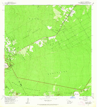
1963 · Volcano
USGS Topo · 1:24,000