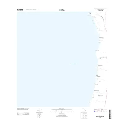
2013 Map of Kauluoa Point
USGS Topo · Published 2013About this map
Pu'uhonua O Honaunau National Historical Park anchors the northern coastline of this survey, marking a site of immense cultural significance on the Island of Hawai'i. The landscape is dominated by the volcanic legacy of the mid-20th century, specifically the massive Honokua Lava Flow of 1950 and the Ka'apuna Lava Flow of 1950, which scarred the terrain as they moved toward the Pacific Ocean. These flows created a stark, dramatic shelf where the island meets the sea at points like Kauluoa Point and Pali Kaholo. Small coastal settlements and geographical markers such as Kāapuna and Opihihali provide evidence of local life along the narrow corridor between the mountains and the water. The map traces the rugged interface of land and sea, from the sands of Kalāhiki Beach to the inlets of Lapawai Bay and Kapilo Bay.
Find a feature on this map
28 named features on this map. Tap any name to fly to it.
Don’t see what you’re looking for? This feature index may not catch every label — zoom into the map to look around manually.
Map Details
Editions of this 2013 Kauluoa Point Map
This is the sole edition of this map. No revisions or reprints were ever made.
Other maps of this area

1928 · Hoopuloa
USGS Topo · 1:62,500

1954 · Hawaii South
USGS Topo · 1:250,000

1959 · Hawaii South
USGS Topo · 1:250,000

1959 · Honaunau
USGS Topo · 1:24,000
1960 · Kaunene
USGS Topo · 1:24,000

1961 · Hawaii South
USGS Topo · 1:250,000

1962 · Hawaii South
USGS Topo · 1:250,000

1962 · Milolii
USGS Topo · 1:24,000

1962 · Papa
USGS Topo · 1:24,000
1962 · Kauluoa Point
USGS Topo · 1:24,000