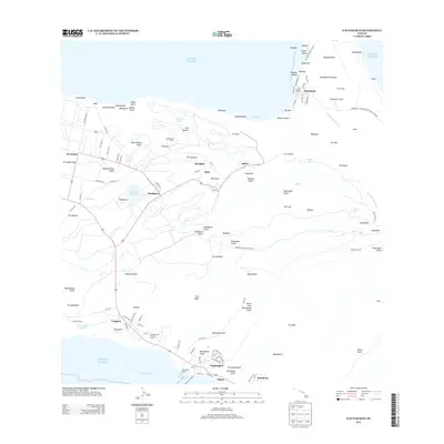
2013 Map of Kaunakakai
USGS Topo · Published 2013About this map
Kaunakakai Harbor and its distinctive Kaunakakai Wharf anchor this central Molokai landscape, where the island's commercial center meets the Kalohi Channel. The map illustrates a transition from the coastal Kamehameha Coconut Grove and Kaluaapuhi Fishpond toward the higher elevations of the Kamakou Forest Preserve Rd. Notable cultural and historical sites are present, including the Imukāluaua Heiau and the northern isolation of the Kalaupapa Peninsula within the Kalaupapa National Hist Park. The interior is defined by a series of deep drainages such as Manawainui Gulch and Kamiloloa Gulch, while infrastructure like the Moloka'i Tunnel and Kualapu'u Reservoir highlight the importance of water management in this environment. From the airfield at Ho'olehua to the clustered streets of Kaunakakai, the map provides a look at the island's modern settlement patterns and preserved heritage sites.
Find a feature on this map
142 named features on this map. Tap any name to fly to it.
Don’t see what you’re looking for? This feature index may not catch every label — zoom into the map to look around manually.
Map Details
Editions of this 2013 Kaunakakai Map
This is the sole edition of this map. No revisions or reprints were ever made.
Other maps of this area

1952 · Molokai Airport
USGS Topo · 1:24,000

1952 · Kamalo
USGS Topo · 1:24,000

1952 · Kaunakakai
USGS Topo · 1:24,000

1954 · Maui
USGS Topo · 1:250,000

1966 · Maui
USGS Topo · 1:250,000

1967 · Kaunakakai
USGS Topo · 1:24,000
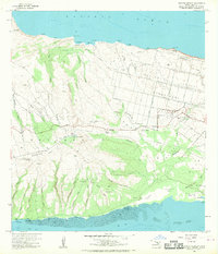
1968 · Molokai Airport
USGS Topo · 1:24,000
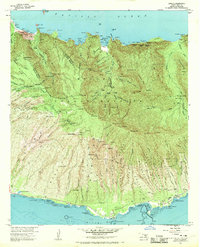
1968 · Kamalo
USGS Topo · 1:24,000

1974 · Maui
USGS Topo · 1:250,000
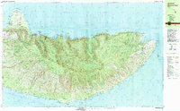
1983 · Molokai East
USGS Topo · 1:25,000