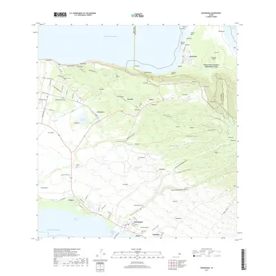
2017 Map of Kaunakakai
USGS Topo · Published 2017About this map
Kaunakakai Harbor and the Kalohi Channel define the southern coast of Moloka'i in this 2017 survey, where the town of Kaunakakai serves as the primary gateway to the island. Moving inland, the landscape rises toward the agricultural and residential heights of Kualapu'u and Kala'e. The map documents a significant intersection of cultural history and land management, featuring several burial grounds including Homelani Cem and the Molokai Veterans Cem.
Find a feature on this map
116 named features on this map. Tap any name to fly to it.
Don’t see what you’re looking for? This feature index may not catch every label — zoom into the map to look around manually.
Map Details
Editions of this 2017 Kaunakakai Map
This is the sole edition of this map. No revisions or reprints were ever made.
Other maps of this area

1952 · Molokai Airport
USGS Topo · 1:24,000

1952 · Kamalo
USGS Topo · 1:24,000

1952 · Kaunakakai
USGS Topo · 1:24,000

1954 · Maui
USGS Topo · 1:250,000

1966 · Maui
USGS Topo · 1:250,000

1967 · Kaunakakai
USGS Topo · 1:24,000
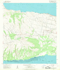
1968 · Molokai Airport
USGS Topo · 1:24,000
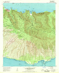
1968 · Kamalo
USGS Topo · 1:24,000

1974 · Maui
USGS Topo · 1:250,000
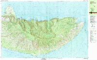
1983 · Molokai East
USGS Topo · 1:25,000