Loading...
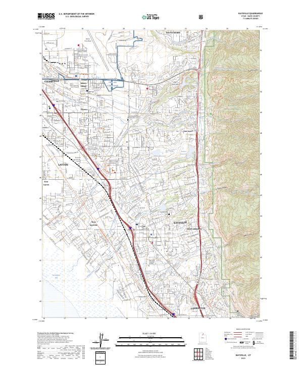
Loading map...2023 Map of Kaysville
USGS Topo · Published 2023About this map
Hill Air Force Base dominates the northern reaches of this Davis County landscape, marking a significant military presence that defines the regional geography. To the east, the steep ascent into the Wasatch National Forest is carved by a series of drainages including Hobbs Canyon, Webb Canyon, and Bair Canyon. These canyons feed a network of waterways like Kays Creek and Holmes Creek that flow westward toward the marshes of Farmington Bay.
Find a feature on this map
161 named features on this map. Tap any name to fly to it.
Don’t see what you’re looking for? This feature index may not catch every label — zoom into the map to look around manually.
Map Details
Date Portrayed2023
Date Published2023
PublisherU.S. Geological Survey
Map TypeTopographic
Scale1:24000
Physical Dimensions24 x 29 inches
Editions of this 2023 Kaysville Map
This is the sole edition of this map. No revisions or reprints were ever made.
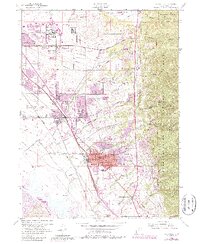
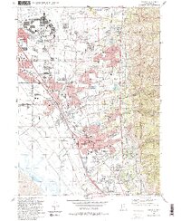
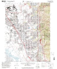
Historical Maps of Village at Old Farm subdivision Through Time
4 maps found
Featured Locations
Source Details
SourceU.S. Geological Survey
CopyrightPublic Domain