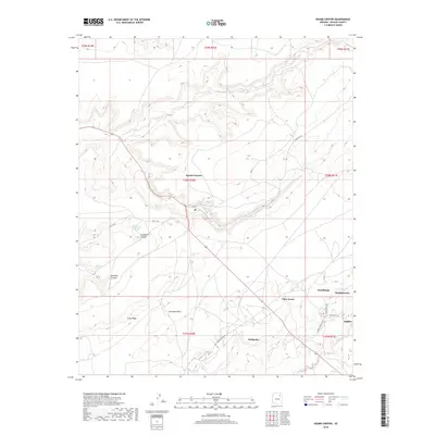
2018 Map of Keams Canyon
USGS Topo · Published 2018About this map
Keams Canyon serves as a primary hub for this high-desert landscape within the Fort Defiance Agency. The settlement patterns follow the natural geography of the region, where water sources like Snowbird Spring and Chili Spring have long dictated the placement of habitation. Notable clusters of activity are visible at Pink Arrow and Chakpahu, while the southeastern corner shows the proximity of Jeddito near the Jeddito Wash.
Find a feature on this map
31 named features on this map. Tap any name to fly to it.
Don’t see what you’re looking for? This feature index may not catch every label — zoom into the map to look around manually.
Map Details
Editions of this 2018 Keams Canyon Map
This is the sole edition of this map. No revisions or reprints were ever made.
Other maps of this area

1883 · Tusayan
USGS Topo · 1:250,000

1886 · Tusayan
USGS Topo · 1:250,000

1947 · Flagstaff
USGS Topo · 1:250,000

1954 · Flagstaff
USGS Topo · 1:250,000

1958 · Flagstaff
USGS Topo · 1:250,000

1960 · Flagstaff
USGS Topo · 1:250,000

1962 · Flagstaff
USGS Topo · 1:250,000

1966 · White Cone
USGS Topo · 1:62,500

1966 · Egloffstein Butte
USGS Topo · 1:62,500
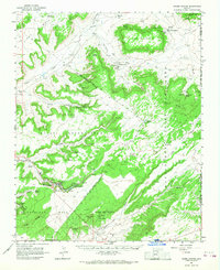
1966 · Keams Canyon
USGS Topo · 1:62,500
Featured Places
- Fort Defiance Agency
- Keams Canyon, AZ
- Chakpahu, Fort Defiance Agency
- Jeddito, Fort Defiance Agency
- Pink Arrow, Fort Defiance Agency