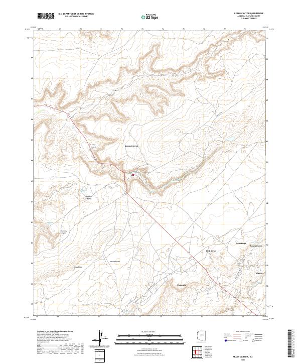
2021 Map of Keams Canyon
USGS Topo · Published 2021About this map
Keams Canyon serves as the focal point for this Navajo County landscape, where the settlement is positioned along the floor of its namesake canyon beneath the heights of Antelope Mesa. The geographic layout reveals a network of high-desert springs and canyons, such as Snowbird Spring and Bluebird Canyon, which have historically dictated the placement of indigenous settlements and travel routes. Moving southeast from the canyon, the map traces the 264 corridor through a series of communities including Pink Arrow, Chakpahu, and Jeddito. The terrain is defined by the sharp contrast between flat mesas and the intricate drainage of Jeddito Wash. Several named springs, including Chili Spring and Skunk Springs, underscore the vital role of water sources in this arid environment. Traditional place names like Nesuftanga and Kokopnyama are documented here, reflecting the cultural heritage and enduring presence of the Hopi and Navajo people on these ancestral lands.
Find a feature on this map
33 named features on this map. Tap any name to fly to it.
Don’t see what you’re looking for? This feature index may not catch every label — zoom into the map to look around manually.
Map Details
Editions of this 2021 Keams Canyon Map
This is the sole edition of this map. No revisions or reprints were ever made.
Other maps of this area

1883 · Tusayan
USGS Topo · 1:250,000

1886 · Tusayan
USGS Topo · 1:250,000

1947 · Flagstaff
USGS Topo · 1:250,000

1954 · Flagstaff
USGS Topo · 1:250,000

1958 · Flagstaff
USGS Topo · 1:250,000

1960 · Flagstaff
USGS Topo · 1:250,000

1962 · Flagstaff
USGS Topo · 1:250,000

1966 · White Cone
USGS Topo · 1:62,500

1966 · Egloffstein Butte
USGS Topo · 1:62,500
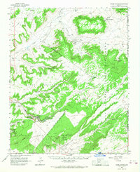
1966 · Keams Canyon
USGS Topo · 1:62,500
Featured Places
- Fort Defiance Agency
- Keams Canyon, AZ
- Chakpahu, Fort Defiance Agency
- Pink Arrow, Fort Defiance Agency
- Jeddito, Fort Defiance Agency