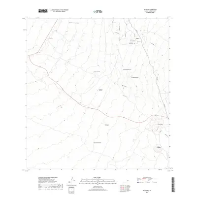
2017 Map of Keamuku
USGS Topo · Published 2017About this map
The settlement of Waiki'i sits high on the western slopes of the Island of Hawai'i, an area defined by its volcanic geology and high-elevation ranching terrain. The landscape is dominated by the sprawling Ke'āmuku Lava Flow and the isolated island of vegetation known as Kipukakalawamauna, which survived the surrounding flows.
Find a feature on this map
26 named features on this map. Tap any name to fly to it.
Don’t see what you’re looking for? This feature index may not catch every label — zoom into the map to look around manually.
Map Details
Editions of this 2017 Keamuku Map
This is the sole edition of this map. No revisions or reprints were ever made.
Other maps of this area

1927 · Kaohe
USGS Topo · 1:62,500

1928 · Puako
USGS Topo · 1:62,500

1928 · Kailua
USGS Topo · 1:62,500

1930 · Kaohe
USGS Topo · 1:62,500

1954 · Hawaii North
USGS Topo · 1:250,000

1956 · Puu Koli
USGS Topo · 1:24,000

1956 · Puu Hinai
USGS Topo · 1:24,000

1956 · Keamuku
USGS Topo · 1:24,000

1956 · Nohonaohae
USGS Topo · 1:24,000

1956 · Makahalau
USGS Topo · 1:24,000